Introduction to GIS Mapping
Imagine a digital representation of our world, where every physical object, location, and phenomenon is linked to a virtual map. That's the essence of GIS mapping. Geographic Information Systems (GIS) allow us to gather, analyze, and interpret geospatial data, transforming it into valuable insights that shape decision-making across various sectors.
The Components of GIS
GIS comprises four essential components: data input, data management, data analysis, and output. Geospatial data is collected through surveys, satellite imagery, GPS, and other sources, then organized and stored for analysis. This structured approach enables us to explore complex relationships between different geographic elements.
Understanding Spatial Data
At the heart of GIS mapping lies spatial data, including locational information (coordinates) and attribute data (descriptions). By combining these, GIS professionals can create layered maps highlighting patterns, trends, and relationships, offering a deeper understanding of our world.
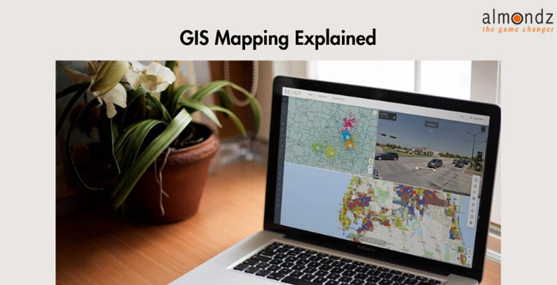
GIS Mapping Technology
Cutting-edge technology drives GIS mapping, including Geographic Positioning Systems (GPS), remote sensing, and specialized software like ArcGIS and QGIS. These tools empower users to manipulate and visualize data, facilitating better decision-making.
Applications in Urban Planning
GIS plays a crucial role in urban planning by aiding city officials in designing efficient infrastructure Advisory, managing land use, and optimizing public services. Planners can simulate scenarios, analyze population growth, and make informed choices that lead to sustainable urban development.
Environmental Resource Management
Protecting our environment requires precise data. GIS helps monitor ecosystems, track deforestation, manage wildlife habitats, and assess the impact of climate change. This technology equips researchers and policymakers with the knowledge to safeguard our planet.
Disaster Response and Management
During crises, every second counts. GIS assists emergency responders in locating affected areas, allocating resources, and planning evacuation routes. By visualizing disaster data, organizations can respond swiftly and effectively, minimizing damage and saving lives.
GIS in Agriculture
Transportation and Navigation
GPS and GIS have revolutionized navigation. Commuters rely on real-time traffic data, while logistics companies optimize routes for efficient deliveries. GIS technology ensures we reach our destinations faster and smarter.
Healthcare and Epidemiology
GIS mapping contributes to healthcare by tracking disease outbreaks, identifying high-risk areas, and improving healthcare access. This technology enhances our ability to respond to health crises and deliver quality care.
Business Intelligence and Market Analysis
In the business world, location matters. GIS provides insights into consumer behavior, market trends, and competitor analysis. By visualizing data on a map, companies make strategic decisions that drive growth.
GIS and Natural Resource Management
Efficient use of natural resources is vital. GIS aids in managing forests, water sources, and minerals, ensuring sustainability for future generations.
The Future of GIS Mapping
As technology evolves, GIS will continue to expand its horizons. Artificial intelligence, big data, and the Internet of Things (IoT) will enhance data collection and analysis, opening doors to new possibilities.
Challenges and Considerations
While GIS mapping offers incredible benefits, challenges such as data privacy, accuracy, and access to technology must be addressed. Striking a balance between innovation and responsibility is crucial.
Conclusion
GIS mapping is a transformative force that shapes how we interact with the world. From urban planning to healthcare and beyond, its applications are diverse and impactful. As technology advances, so does our ability to harness the power of geospatial information for a better future.
Related BlogsDrone Survey Equipment: Revolutionizing Data Collection from Above
What is the Role of Infrastructure Advisory?
Road network survey vehicle
How to Conduct a Road Survey: Step-by-Step Guide