Types of drone survey
Drones have rapidly evolved from recreational gadgets to indispensable tools in various industries. data from the air. In this article, we will look at the different types of drone surveys available and how they transform industries.
What Are Drone Surveys?
Drone surveys involve using Unmanned Aerial Vehicles (UAVs) equipped with specialized sensors and cameras to capture data from the air. These surveys provide high-resolution images and data that can be used for mapping, monitoring, and analysis.
Why Choose Drones for Surveys?
Drones offer several survey advantages, including cost-effectiveness, rapid data collection, and accessibility to remote or hazardous areas. They also reduce the risk to human surveyors and provide a bird's-eye view of the surveyed area.
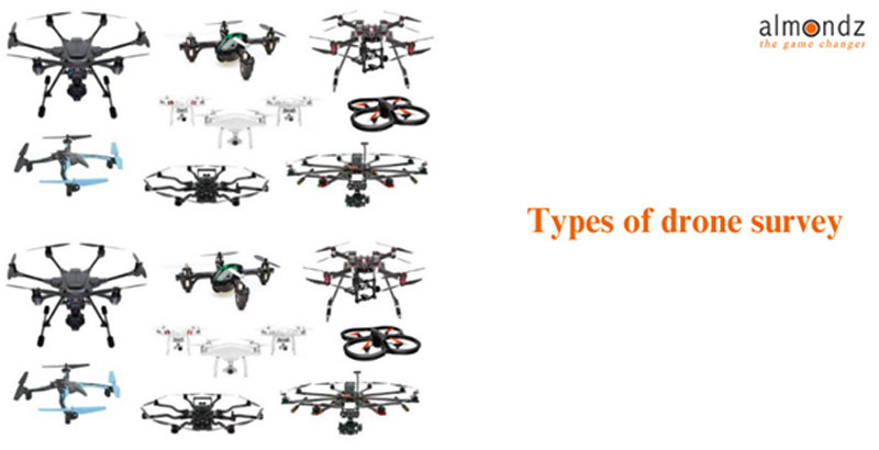
Types of Drone Surveys
Drone surveys come in various forms, each tailored to specific applications. Let's explore the most common types:
Photogrammetric Surveys
Photogrammetric surveys capture images from multiple angles to create detailed 3D terrain models. This technique is widely used in topographic mapping and land development.
LiDAR Surveys
LiDAR (Light Detection and Ranging) surveys use laser technology to measure distances and create highly accurate 3D maps. They are ideal for applications requiring precise elevation data, such as forestry and urban planning.
Thermal Imaging Surveys
Thermal imaging surveys use infrared cameras to detect temperature variations. These surveys are invaluable for applications like search and rescue, building inspections, and wildlife monitoring.
Multispectral Surveys
Multispectral surveys capture images in multiple wavelengths, allowing for detailed analysis of vegetation health, crop management, and environmental changes.
Topographic Surveys
Topographic surveys focus on mapping the contours and elevations of a specific area. They are crucial for construction projects and infrastructure development.
Know More Learn Drone Survey Equipment.
Applications of Drone Surveys
Drone surveys find applications in various industries, including agriculture, construction, mining, environmental conservation, and disaster management.
Advantages of Drone Surveys
The advantages of using drones for surveys include cost savings, time efficiency, safety, and data accuracy.
Challenges and Limitations
Drone surveys face regulatory restrictions, weather conditions, and technical limitations despite their benefits.
Regulations and Compliance
Understanding and adhering to drone survey regulations is essential to ensure legal and safe operations.
Choosing the Right Drone for Surveying
The appropriate drone for a survey depends on factors like payload capacity, flight time, and sensor capabilities.
Preparing for a Drone Survey
Effective planning, including site surveys, weather assessments, and safety protocols, is crucial for a thriving drone survey.
Conducting a Drone Survey
Executing a drone survey involves proper flight planning, data collection, and quality control measures.
Data Processing and Analysis
Transforming raw data into actionable insights requires skilled data processing and analysis techniques.
Real-world Examples
Explore real-world case studies showcasing the transformative impact of drone surveys in different industries.
Conclusion
In conclusion, drone surveys have emerged as a game-changer in various industries, offering a cost-effective and efficient means of data collection. By understanding the different types of drone surveys and their applications, businesses and professionals can harness the power of this technology to make informed decisions and drive progress.
Related Blogs
Drone Survey Equipment: Revolutionizing Data Collection from Above
How Is GIS Used With Drones?