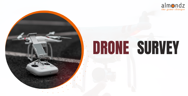
Drone Survey Equipment: Revolutionizing Data Collection from Above
Understanding Drone Survey Equipment
Drone survey equipment refers to the specialized tools and technology used to conduct surveys, inspections and collect data from aerial perspectives. These equipment setups typically include drones, cameras, sensors, and software solutions that enable efficient and accurate data capture and analysis.
Applications of Drone Survey Equipment
Drone Surveys in Construction
Drones have become invaluable in the construction industry, providing surveyors and engineers with precise measurements, 3D modelling, and progress tracking. They can swiftly and safely capture aerial imagery, generate topographic maps, identify potential site issues, and improve project planning and management.
Precision Agriculture and Crop Monitoring
Farmers and agricultural experts increasingly use drones for accurate agriculture and crop monitoring. With multispectral cameras, drones can capture high-resolution images of crops, detect irrigation issues, assess plant health, and optimize fertilizers and pesticides. This data-driven approach helps maximize yields, reduce costs, and promote sustainable farming practices.
Mining and Resource Exploration
Drone survey equipment has transformed mining and resource exploration by streamlining surveying and mapping processes. Drones with LiDAR (Light Detection and Ranging) sensors can quickly collect detailed topographic data, identify mineral deposits, monitor mine sites, and facilitate efficient planning and decision-making.
Environmental Monitoring and Conservation
Drones offer massive potential in environmental monitoring and conservation efforts. They can be deployed to track wildlife populations, survey forest areas, monitor coastal erosion, and assess the impact of climate change. With their ability to access remote and inaccessible regions, drones provide invaluable data for conservationists and researchers, aiding in protecting our ecosystems.
Advantages of Drone Survey Equipment
Enhanced Efficiency and Accuracy
Drone survey equipment significantly improves the efficiency and accuracy of data collection processes. With automated flight plans, drones can cover large areas in a fraction of the time it takes traditional methods. The high-resolution imagery and sensor data they capture provide precise measurements, reducing human error and enhancing the overall quality of data.
Improved Safety Measures
Drones enhance safety by replacing manual inspections in hazardous or hard-to-reach locations. Surveying tall structures, inspecting power lines, or assessing unstable terrains can now be done remotely, minimizing worker risks and ensuring their well-being.
Cost-Effective Data Collection
Traditional surveying methods involve substantial costs, including equipment, personnel, and logistics. Drone survey equipment offers a cost-effective alternative by reducing labour-intensive tasks, minimizing the need for specialized equipment, and optimizing workflows. This affordability allows businesses to conduct surveys more frequently, enabling better decision-making and project management.
Accessibility to Challenging Terrain
Drone survey equipment enables data collection in areas that were previously challenging to access. Whether in rugged landscapes, dense forests, or hazardous environments, drones can navigate and capture information from above, providing valuable insights without endangering human lives.
Choosing the Right Drone Survey Equipment
Various factors come into play when selecting drone survey equipment, depending on the industry and specific use case. Considerations may include flight time, payload capacity, camera capabilities, software compatibility, and post-processing requirements. Evaluating these factors ensures the chosen equipment meets the project's needs, optimizing data collection and analysis.
Regulations and Safety Guidelines
As the popularity of drone survey equipment continues to soar, it is essential to understand and adhere to regulations and safety guidelines. In the United States, the Federal Aviation Administration (FAA) has established rules regarding drone operations, including pilot certification, flight restrictions, and airspace regulations. Additionally, local laws and specific industry guidelines must be considered to ensure legal and safe drone operations.
Future Trends in Drone Survey Equipment
The future of drone survey equipment holds promising advancements that will further revolutionize data collection processes.
Advancements in Sensor Technology
Drone sensors are expected to become more sophisticated, offering higher resolutions, improved accuracy, and expanded capabilities. This will enable enhanced data collection across various industries, unlocking new insights and possibilities.
Autonomous Drone Surveying
Advancements in autonomous drone technology will lead to more efficient and independent surveying operations. Self-navigating drones can perform predefined missions, adjust flight paths in real time, and autonomously collect and process data. This will further streamline operations and reduce the need for manual intervention.
Conclusion
Drone survey equipment has revolutionized data collection processes in various industries, offering enhanced efficiency, accuracy, and safety. With applications ranging from construction and agriculture to mining and environmental monitoring, drones have proven invaluable tools for gathering valuable insights from above. As technology continues to advance, the future of drone survey equipment looks promising, with advancements in sensor technology, AI integration, and autonomous capabilities on the horizon.